
How to Import a GeoPDF into MCG Maps
Add a supported GeoPDF from your device, NIFC discovery, or a compatible QR code.
Before you import
Every Incident already has a permanent online Topo Map. Import a GeoPDF when you also want to use a supported incident or field map as a geographic overlay.
A PDF that looks like a map is not necessarily a GeoPDF. MCG Maps validates every selected or downloaded PDF before adding it to an Incident.
Choose how to add a Map
Open Add Map and choose Download from NIFC, Scan QR Code, or Import from Device.
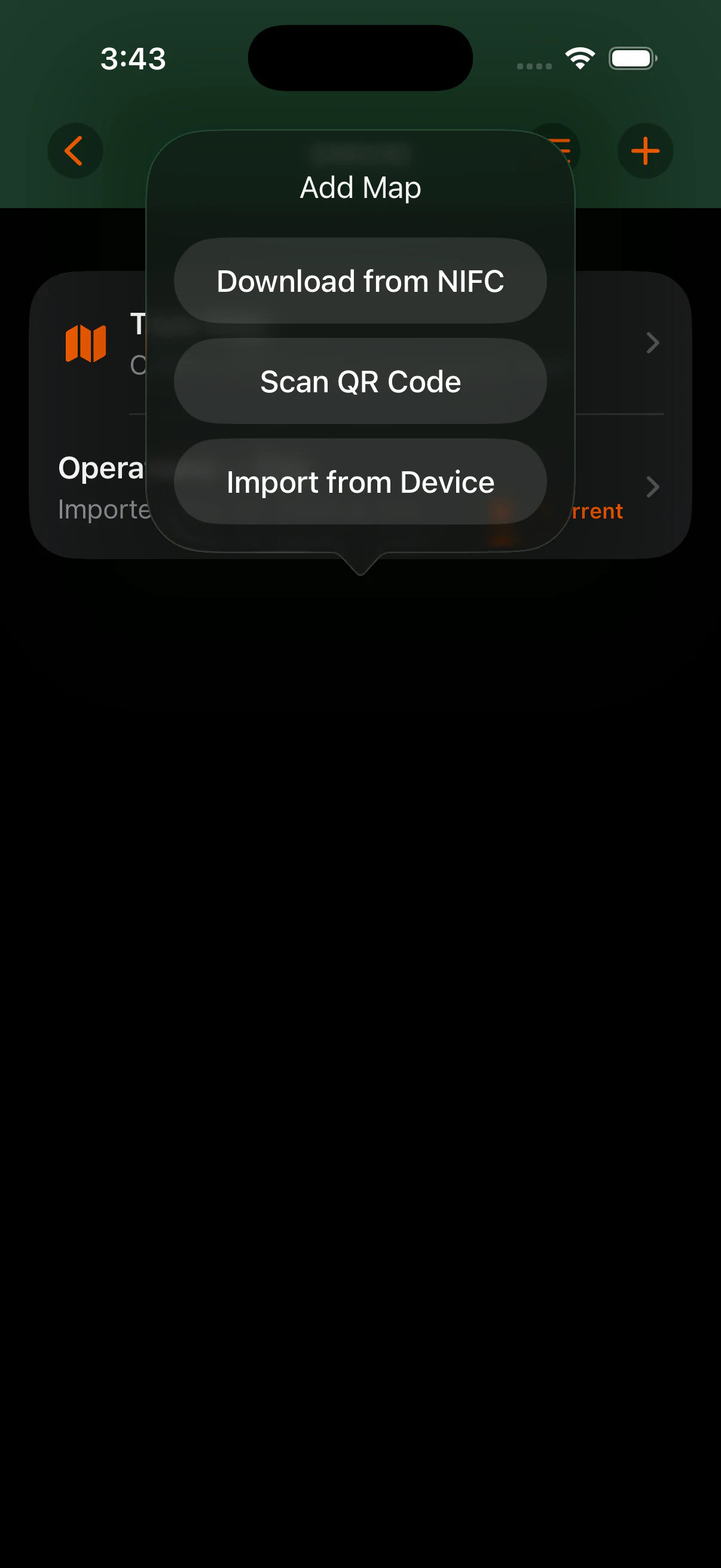
Import from Device
You can also open a PDF from Files, Safari, or another app through the iOS Share menu, choose MCG Maps, and select the destination Incident. External PDFs pass through the same validation and import process.
- Open the Incident that should contain the map.
- Open Add Map.
- Choose Import from Device.
- Select the PDF in the Files document picker.
- Allow MCG Maps to validate and import it.
Download from NIFC
MCG Maps does not host or republish NIFC data. Discovery and download require network access, and downloaded maps do not automatically synchronize or update later.
- Open Add Map and choose Download from NIFC.
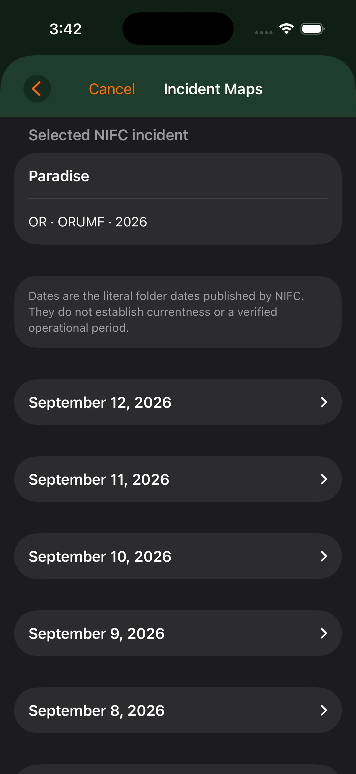
- Search NIFC's current incident records.
- Review the results and choose the correct incident.
- Browse the map products discovered from public NIFC services.
- Explicitly select the PDF you want.
- Allow the PDF to download and pass through normal GeoPDF validation and import.
Scan QR Code
Open Add Map and choose Scan QR Code.
A supported NIFC directory QR code opens the NIFC product-discovery flow. A direct PDF QR link uses the normal bounded PDF download and import path. A generic safe web link can be deliberately opened in the browser when supported.
Scanning a QR code is an acquisition shortcut. It does not bypass URL safety checks, download limits, GeoPDF validation, or the requirement to choose what to import. Arbitrary QR content is not automatically imported.
GeoPDF compatibility
MCG Maps supports bounded Web Mercator cases in addition to existing supported structures such as TM/UTM, Lambert, and compatible CalTopo-style GeoPDFs.
Support is not universal. Multi-page georeferenced PDFs are still not generally supported, and some PDFs may use unsupported geospatial structures or coordinate systems. The original file is not modified when validation fails.
If you believe a GeoPDF should be supported, contact support@mcgmaps.com and include the file or information about where it came from when possible.