
 MCG Maps for iPhone
Your incident map.
On your phone.
Start with an online Topo Map, add the supported incident GeoPDFs you already use, and keep your location and field information in one simple personal reference.
Built for the person carrying the map
MCG Maps is built around the individual firefighter: keep the information you need across topo and the incident maps you already have without turning your phone into another GIS workstation.
- Local field workflow
- Imported GeoPDFs, Incidents, Markers, and photos stay usable without internet
- On your device
- Your imported maps, Markers, photos, and location stay on your iPhone
- No account
- Open the app and use it. No sign-in required
- No advertising
- No ads competing with the map
Keep track of what matters.
Your location, field notes, photos, coordinates, and Maps stay together within an Incident so you can build your own situational picture and pass along useful information when you need to.
Start with Topo Map
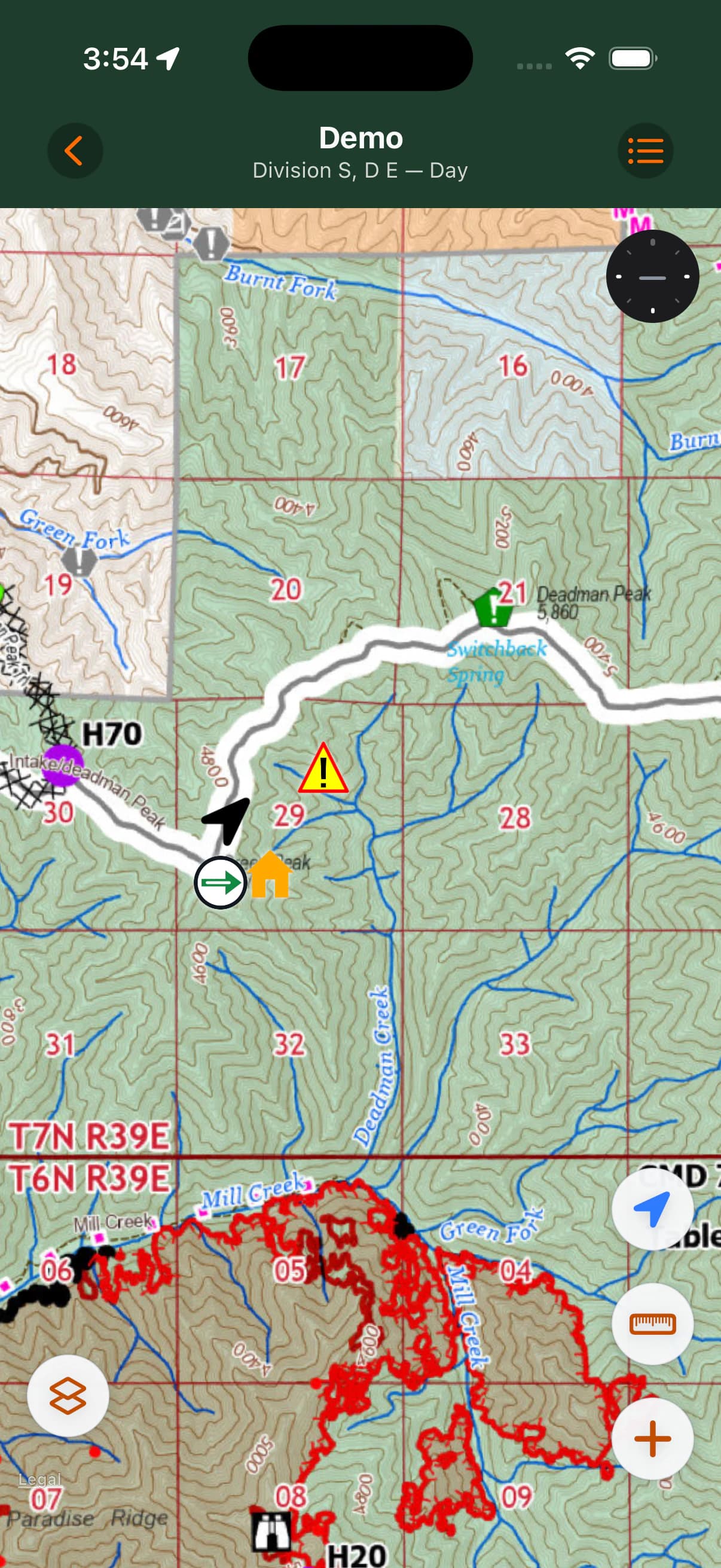
Every Incident includes a permanent online USGS Topo Map, so you can open a map, see an accepted current location, and add Incident Markers without importing a PDF.
Add a GeoPDF overlay
Import from your device, discover a map through NIFC, or use a supported QR code. The GeoPDF appears over topo, with opacity and basemap controls.
Mark what matters
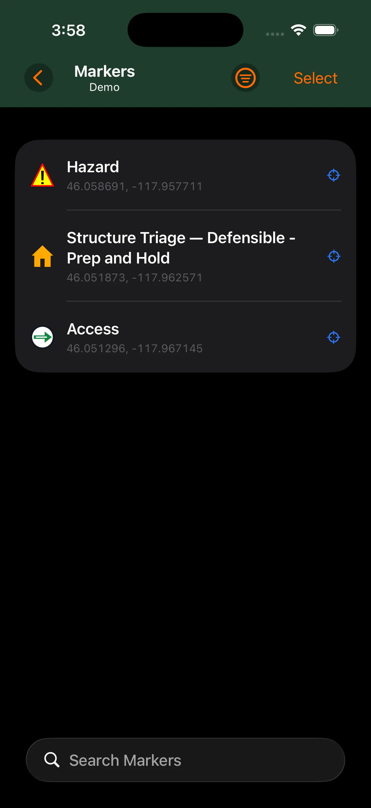
Keep searchable, filterable Markers across the Incident—not bound to one PDF. Add classifications, descriptions, coordinates, and photos when they preserve useful context.
Share what matters
Send one PDF or multiple selected PDFs, share Marker data, or create an MCG Map package without turning deliberate transfer into cloud synchronization.
Your information. Not ours.
Keep what you capture useful outside MCG Maps. Share one original Map PDF or multiple selected PDFs, send Marker information to another MCG Maps user or mapping app, or package one Map and the Incident's Marker data together.
No account. No MCG cloud sync. No lock-in.
Your field information should be useful even when MCG Maps is not the final destination.
See sharing options- Share the Map
- Send one original GeoPDF or select several PDFs to share together.
- Share a Marker
- Send the location and field context you captured without making someone recreate it.
- Send it to another map app
- Share compatible Marker data using standard geospatial formats for workflows such as Avenza or Google Earth.
- Move the Map and field data together
- Use an MCG Map package to send one Map PDF and the Incident's Marker data to another compatible MCG Maps installation.
Current MCG Map packages do not include attached Marker photos.
Keep your picture of the incident together
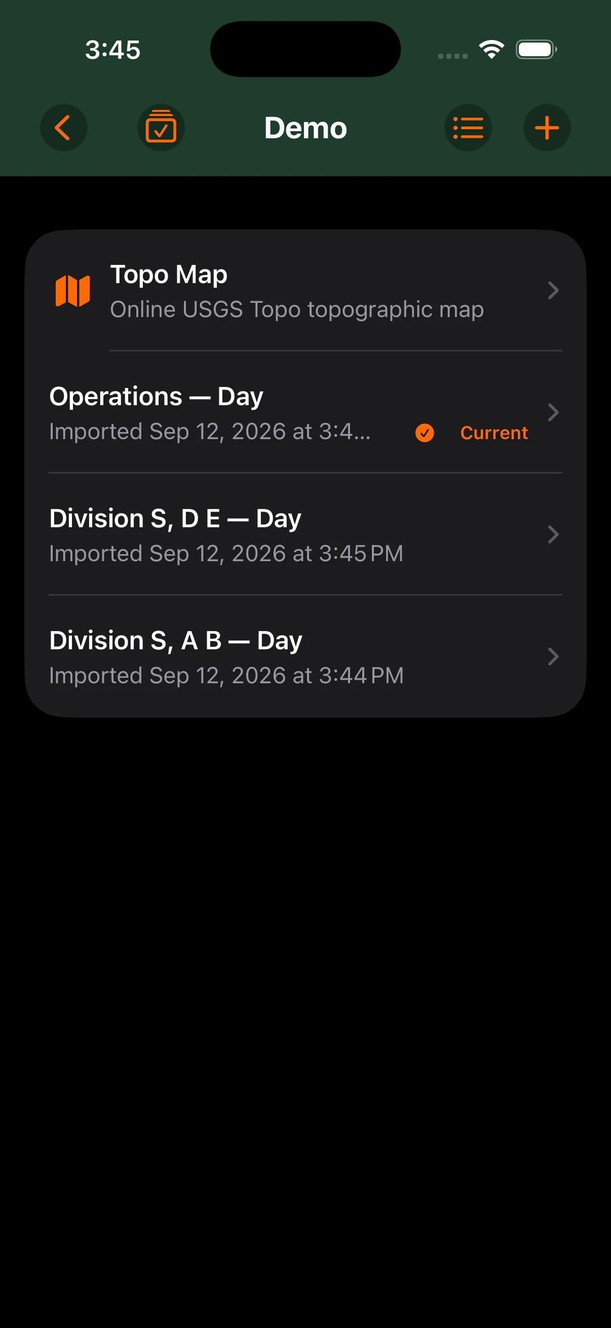
Every Incident has a permanent Topo Map. Keep today's Ops map, Division maps, and Incident-wide Markers alongside it so the information you've built up stays easy to find.
Coordinates in the format you actually use
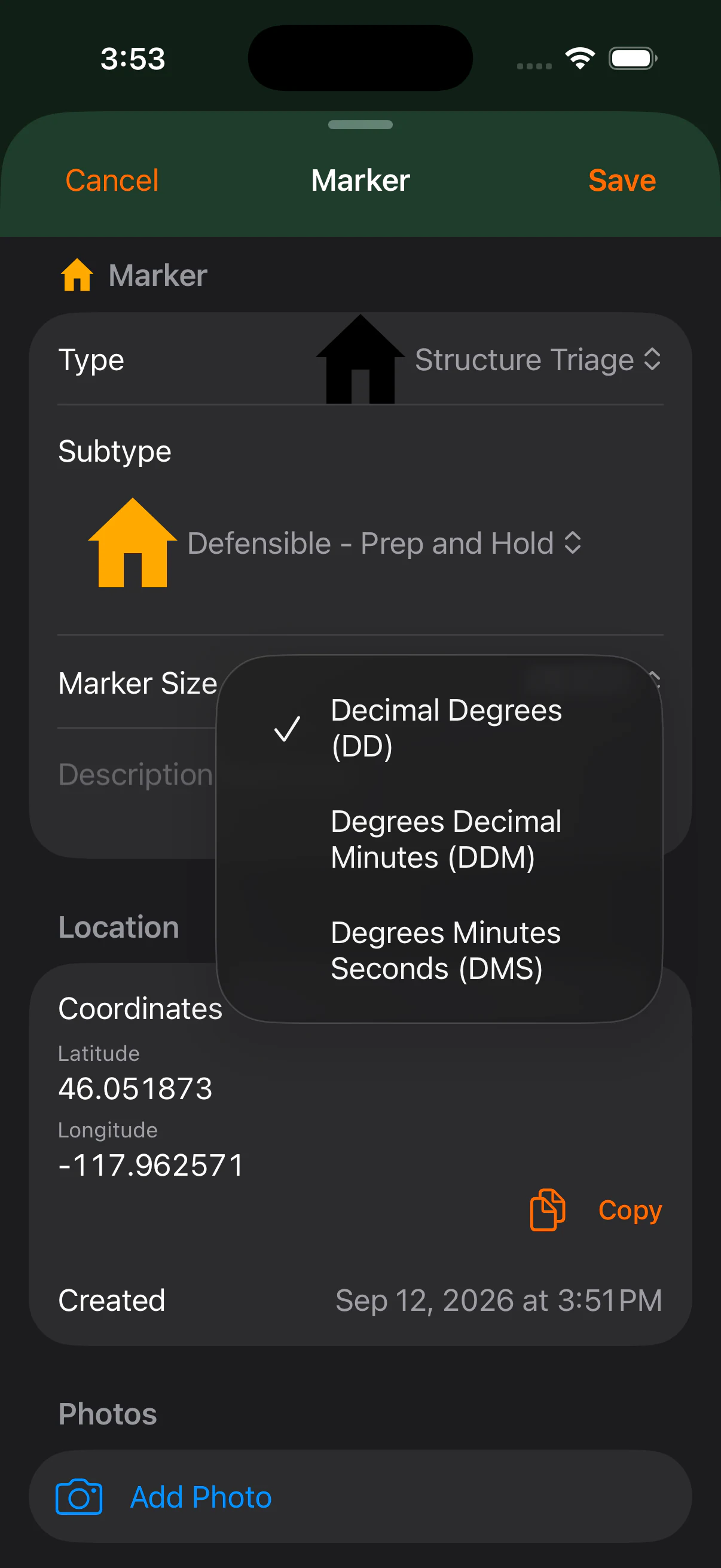
Choose Decimal Degrees, Degrees Decimal Minutes, or Degrees Minutes Seconds as your global preference. On Marker detail, temporarily switch the displayed format without changing that preference; Copy uses the format currently shown.
- DD
- Decimal Degrees
- DDM
- Degrees Decimal Minutes
- DMS
- Degrees Minutes Seconds